West Penwith National Landscape
Cornwall's rugged far west
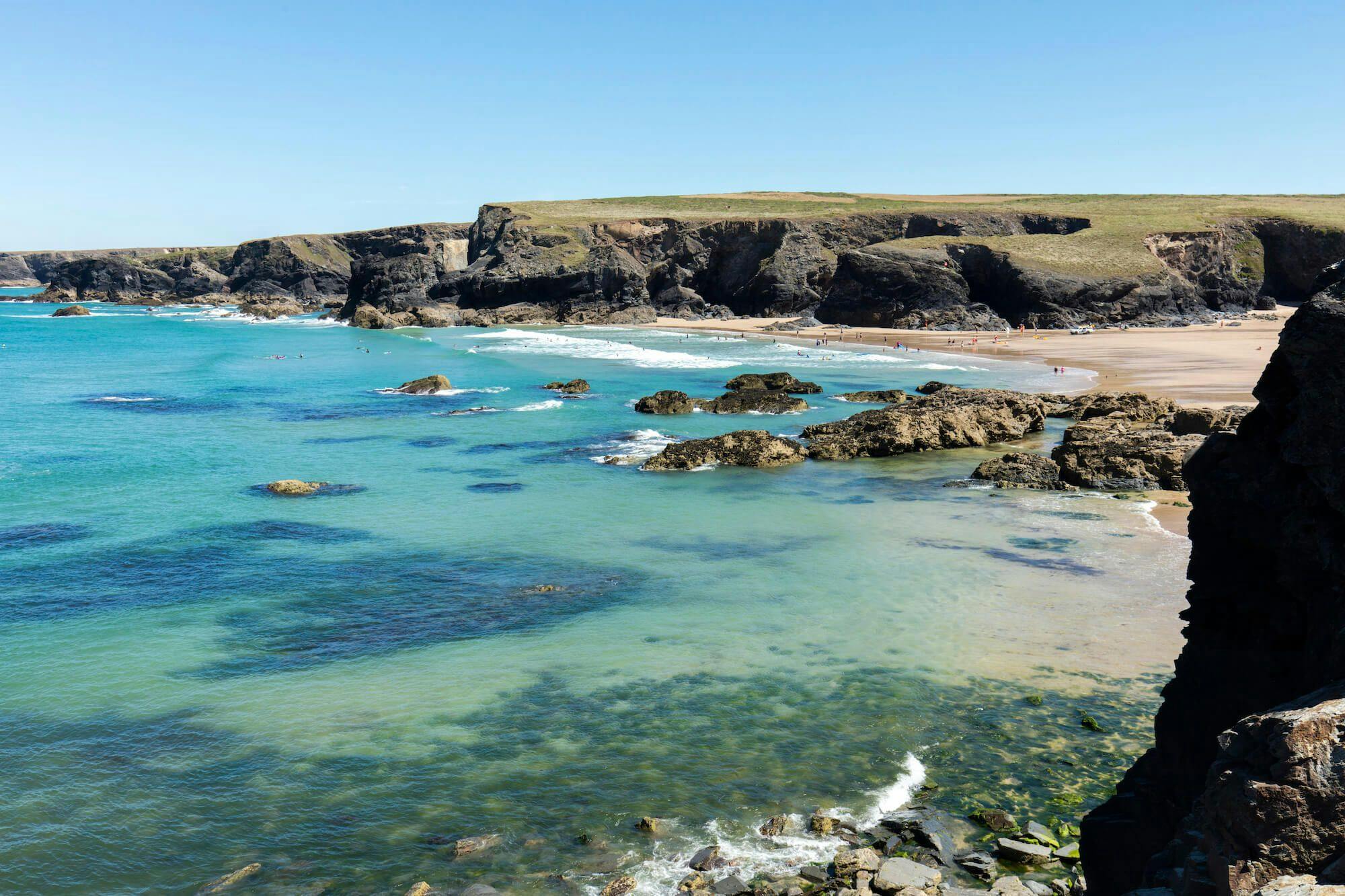
This sizeable section of Cornwall's National Landscape runs from St Ives right round to Mousehole and includes the coast, the high upland moors and villages such as Sennen, Zennor and Porthcurno as well as the small granite town of St Just.
The northern coastal section was extensively mined and many mine buildings and shafts remain. At Gurnard's Head and Bosigran there's evidence of Iron Age cliff-castles. Inland the high moor and heathland is dotted with antiquities, quoits, carns and stone circles, for Penwith contains the highest concentration of iron-age archaeological remains in Europe including the well-preserved village at Chysauster. Vegetation on the hills is mostly heather, gorse, rough grass and the ubiquitous bracken.
Between the uplands and the coast is a patchwork of small, stone-hedged fields, many pre-historic in origin, and managed from ancient granite farmsteads. Farming is mainly arable with some pasture and small herds of livestock. Several deep coombes cut through to the coast, notably the Cot Valley with its strange glacier-formed round boulders at the bottom.
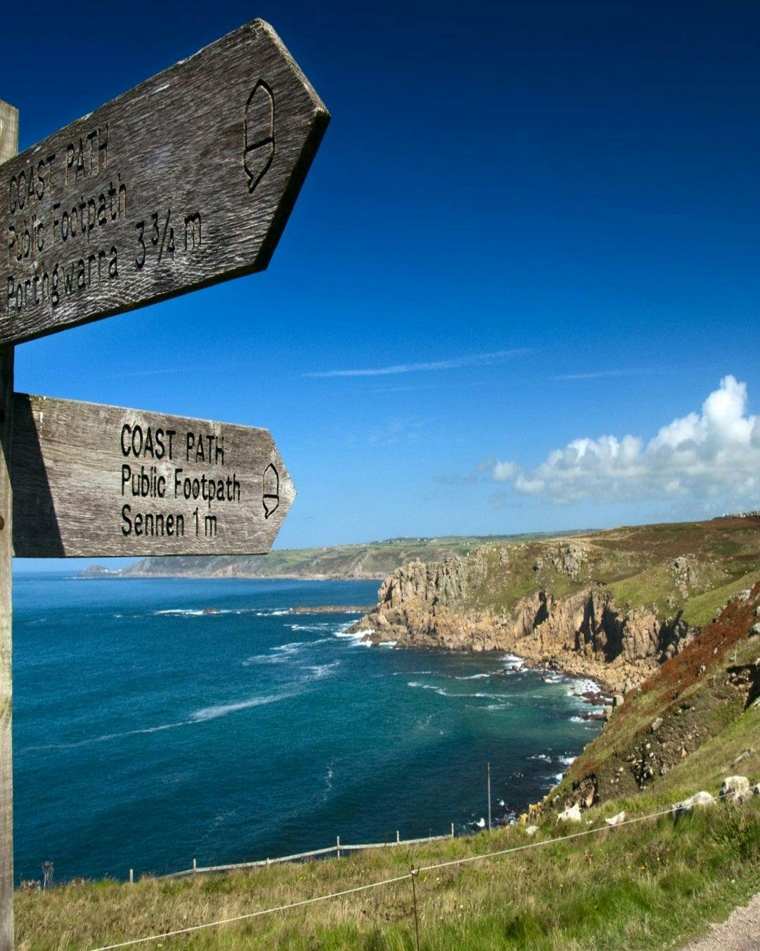
Across sweeping Whitesand Bay and on to Land's End, the coastal path then runs past the world-famous Minack Theatre to Treen and the Logan Rock, then onto Penberth and the smuggling cove of Lamorna. Another steep valley runs down from the heathland above here, wooded and warm with a plethora of wild flowers. Inland a network of country lanes links farms and hamlets.
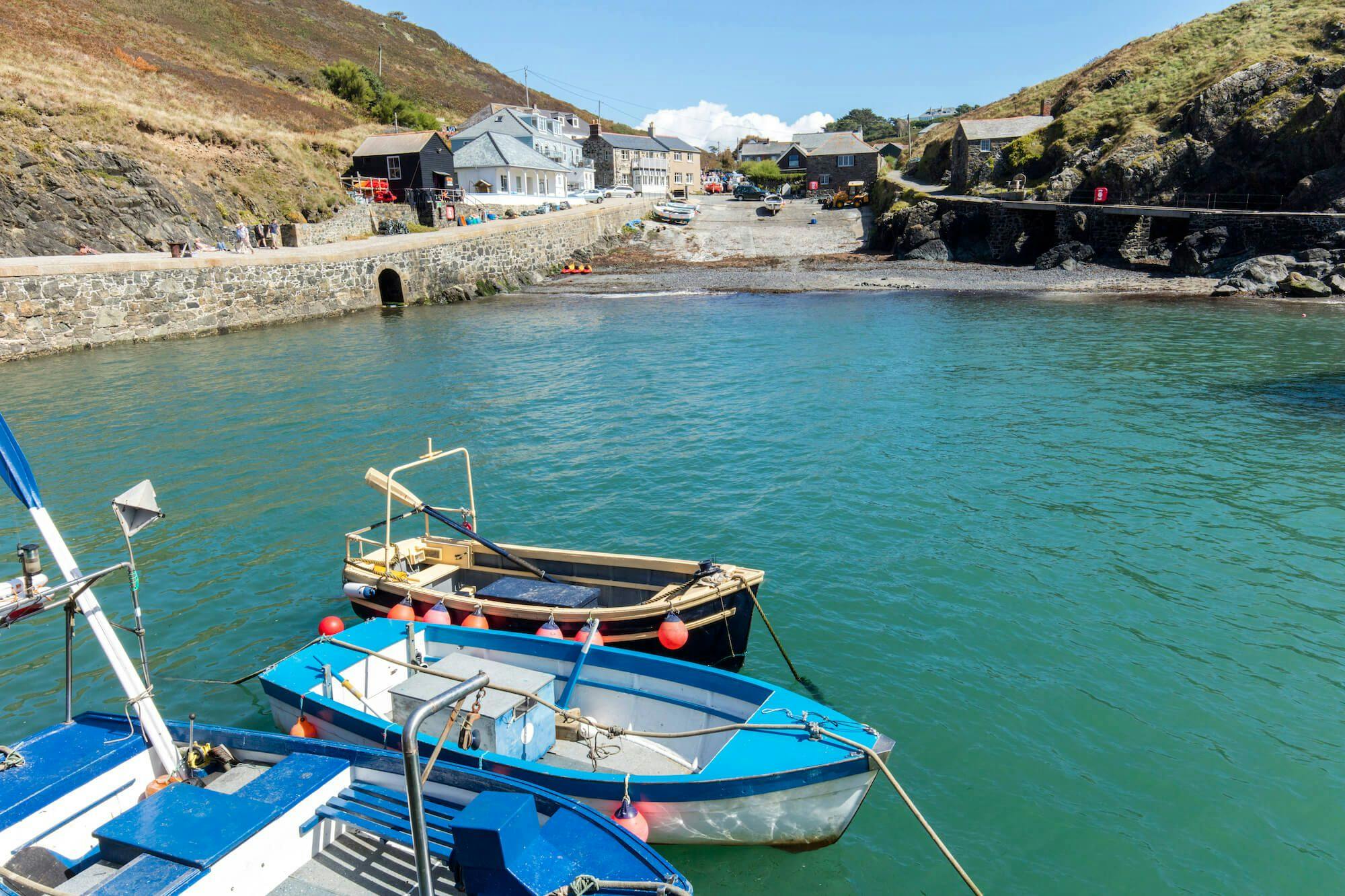
This section ends at the small, picturesque fishing harbour of Mousehole with its quaint cottages and winding streets.
- St Ives / Mousehole / Land's End / St Just in Penwith
Contact

Your weekly dose of Cornish cheer!
When you can’t be in your favourite place all the time, catch up on the latest stories, upcoming events, holiday ideas, and offers with a newsletter straight to your inbox. Terms and Conditions / GDPR compliance: by providing personally identifiable information Visit Cornwall will use it to provide you with ongoing information about their products and services. No one from Visit Cornwall will rent, sell or lease this personally identifiable information to other companies or individuals.
Stay connected
Find us on socials and stay connected with the Cornwall you love.
We use cookies to personalise content and ads and to analyse our traffic. You consent to our cookies if you continue to use our website. (Privacy Policy)