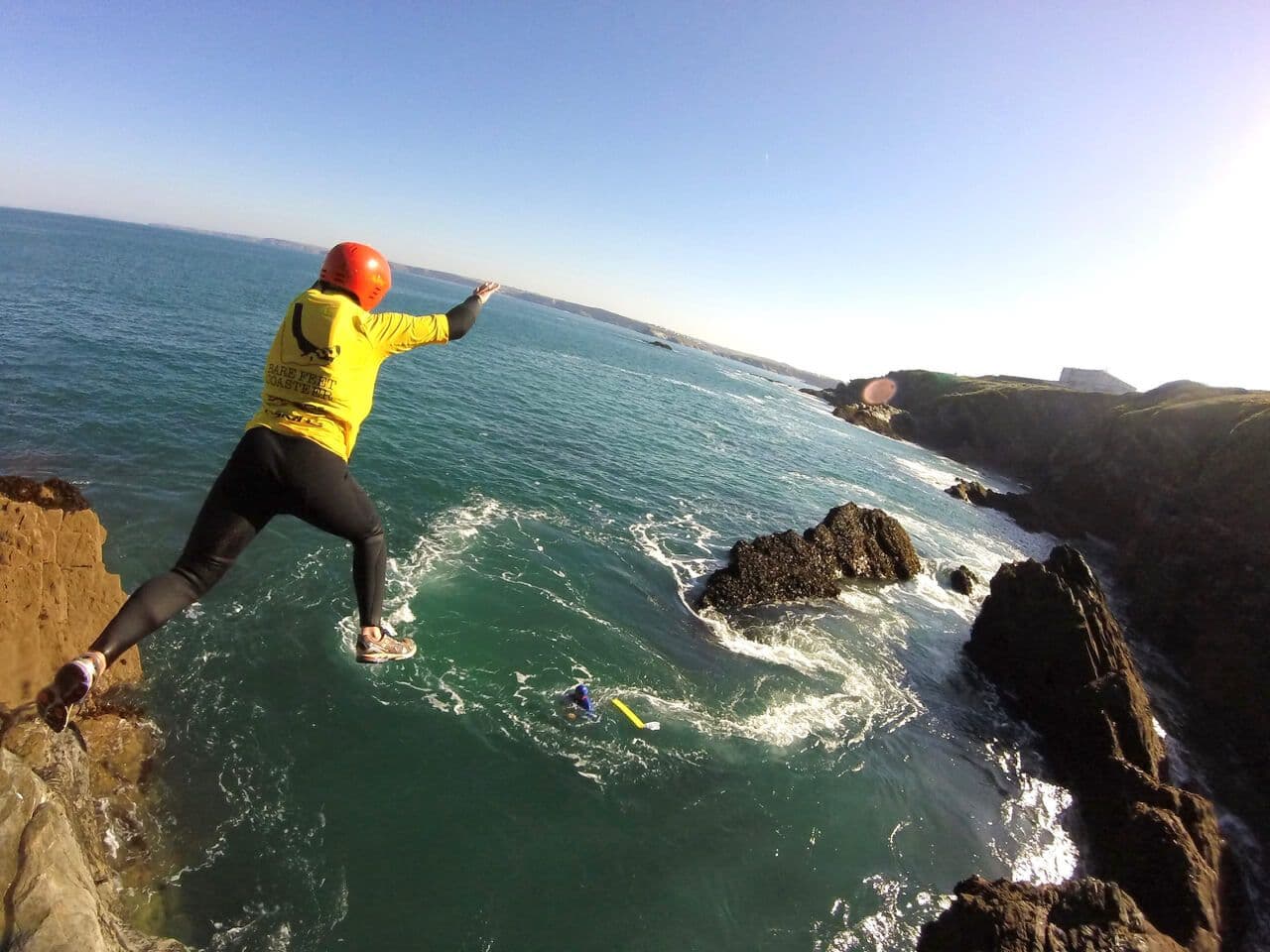
Five Long Walks through Cornwall
We know you all love Cornwall’s coast and countryside, and we believe the best way of seeing it is on foot. It’s safe, it’s healthy and here in Cornwall you are spoilt for choice. Get back to the great outdoors and challenge yourself to complete some of these longer walks.
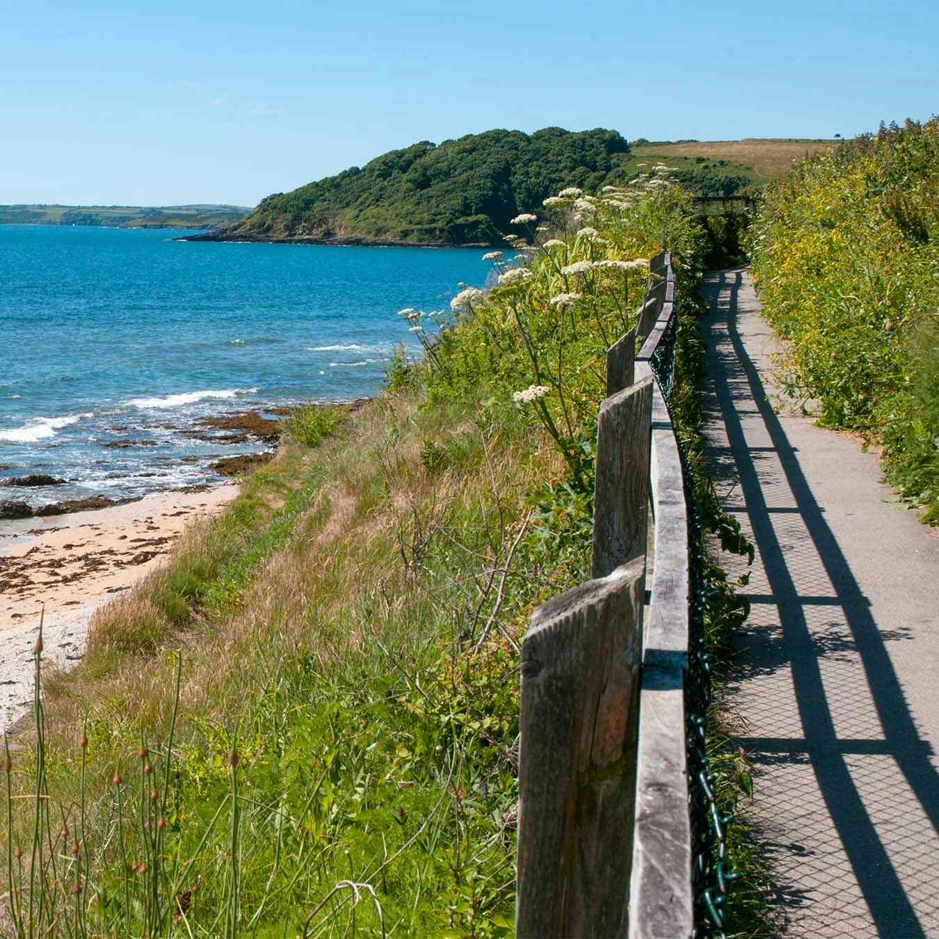
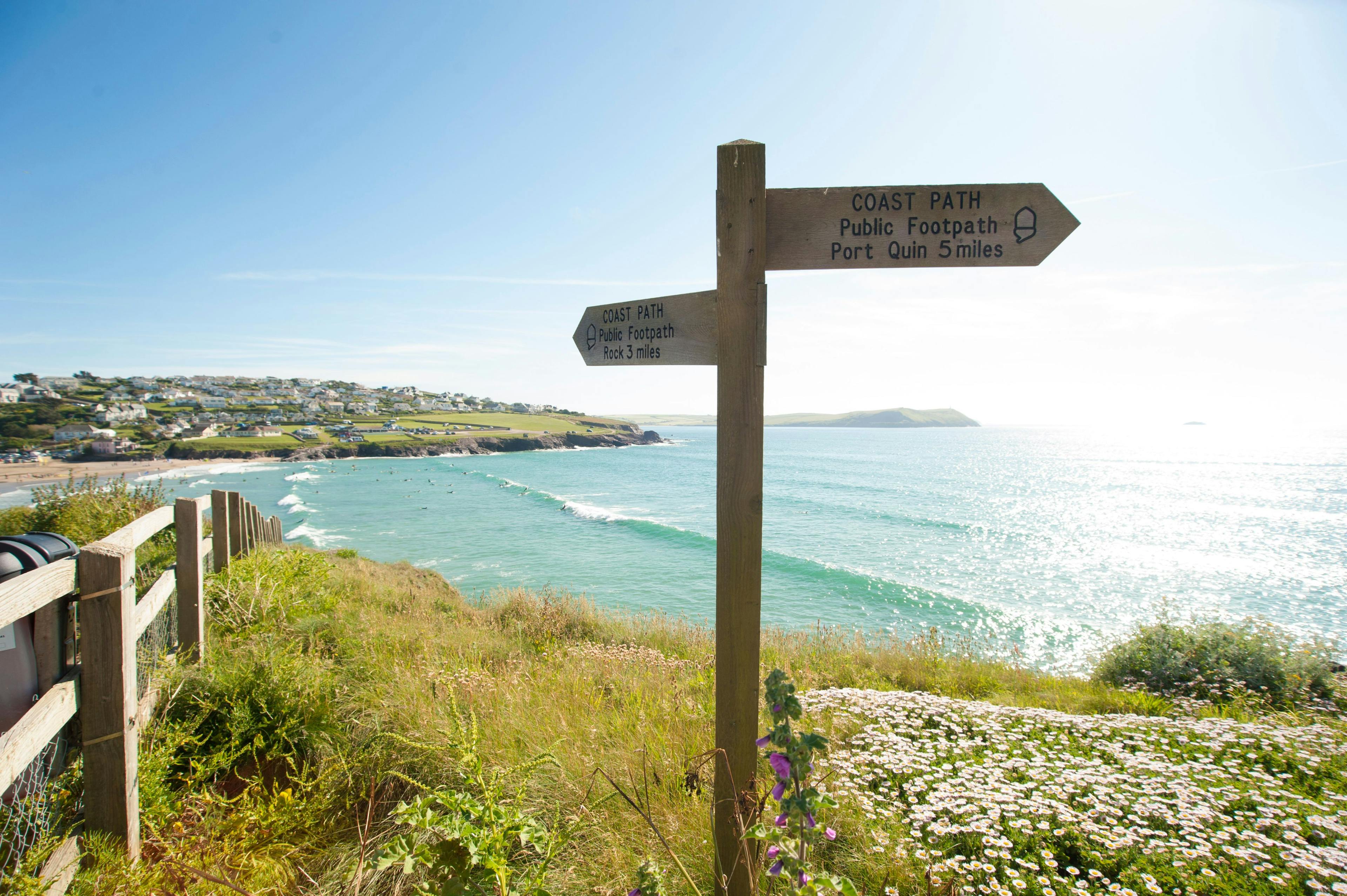
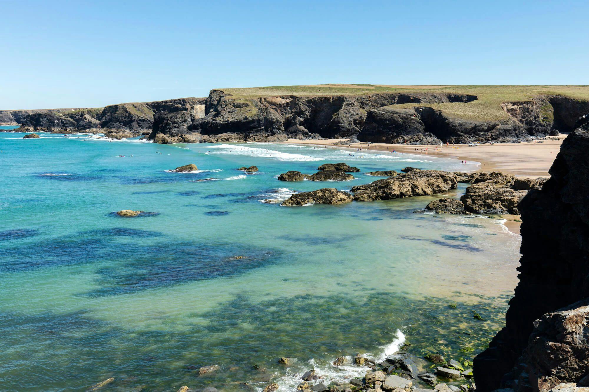
South West Coast Path
Many of you will have walked short sections of the coast path, but how many of you have tackled all 260 miles of it in Cornwall? It’s not easy to do it in one go, not without help or by travelling very light, but with a bit of planning it is possible to spend a week doing a section, maybe using public transport to return to your starting point everyday or booking accommodation along the route in advance. The best bits? There are so many… including the achievement that you have done it!
The Cornish Celtic Way
Mainly using sections of both the South West Coast Path and the Camel Trail, this route, created in 2017 is a modern pilgrimage route covering 125 miles across Cornwall from the Priory Church at St Germans to St Michael’s Mount. Along the way it is claimed you will come into contact with 90 Celtic Saints, be it through place names, churches, holy wells and crosses, and get to visit some places you probably didn’t know existed!
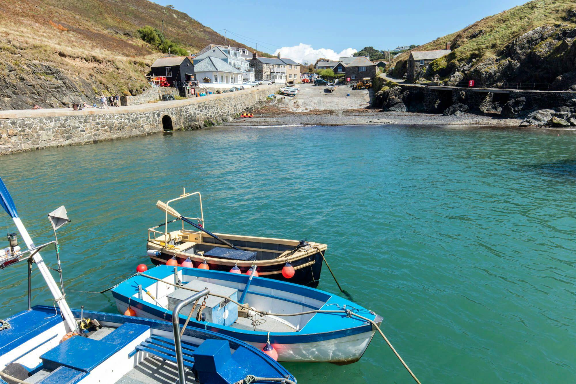
Cornish Saints' Way
All over Europe you will come across pilgrimage routes that snake there way to Santiago de Compostella in northern Spain. Pilgrims from Ireland and Wales had to cross water to reach the European mainland, and it is said they would sail to Padstow before crossing Cornwall to Fowey, just to avoid the treacherous journey around Land’s End by water. The route they followed has now been turned into a 27 mile long waymarked path that can be walked in a couple of days, linking two of Cornwall’s best known harbours.
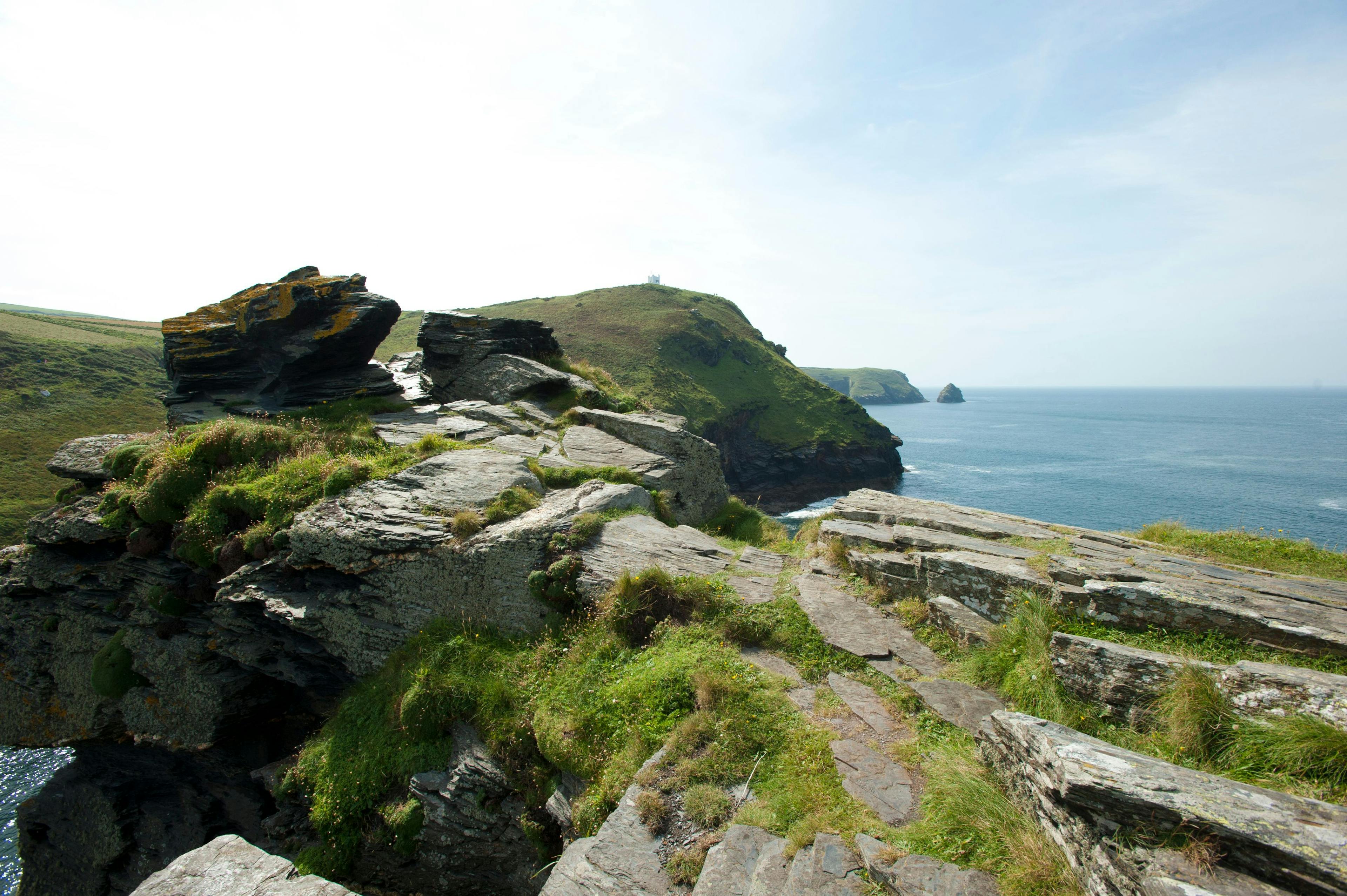
The Smugglers Way
A slightly longer walk, 36 miles, runs from Boscastle to Looe, crossing the wild Bodmin Moor and its two highest peaks, Brown Willy and Roughtor. Unlike the Saint’s Way, it’s not waymarked or mentioned on maps, but Visit Cornwall are able to provide walkers with information if needed. Was it a route used by smugglers? we are sure the people at Jamaica Inn, that you pass after about 15 miles, will assure you it was. What we do know is that it’s a beautiful walk, especially in the spring when the wooded valleys at the start and end are full of wild flowers.
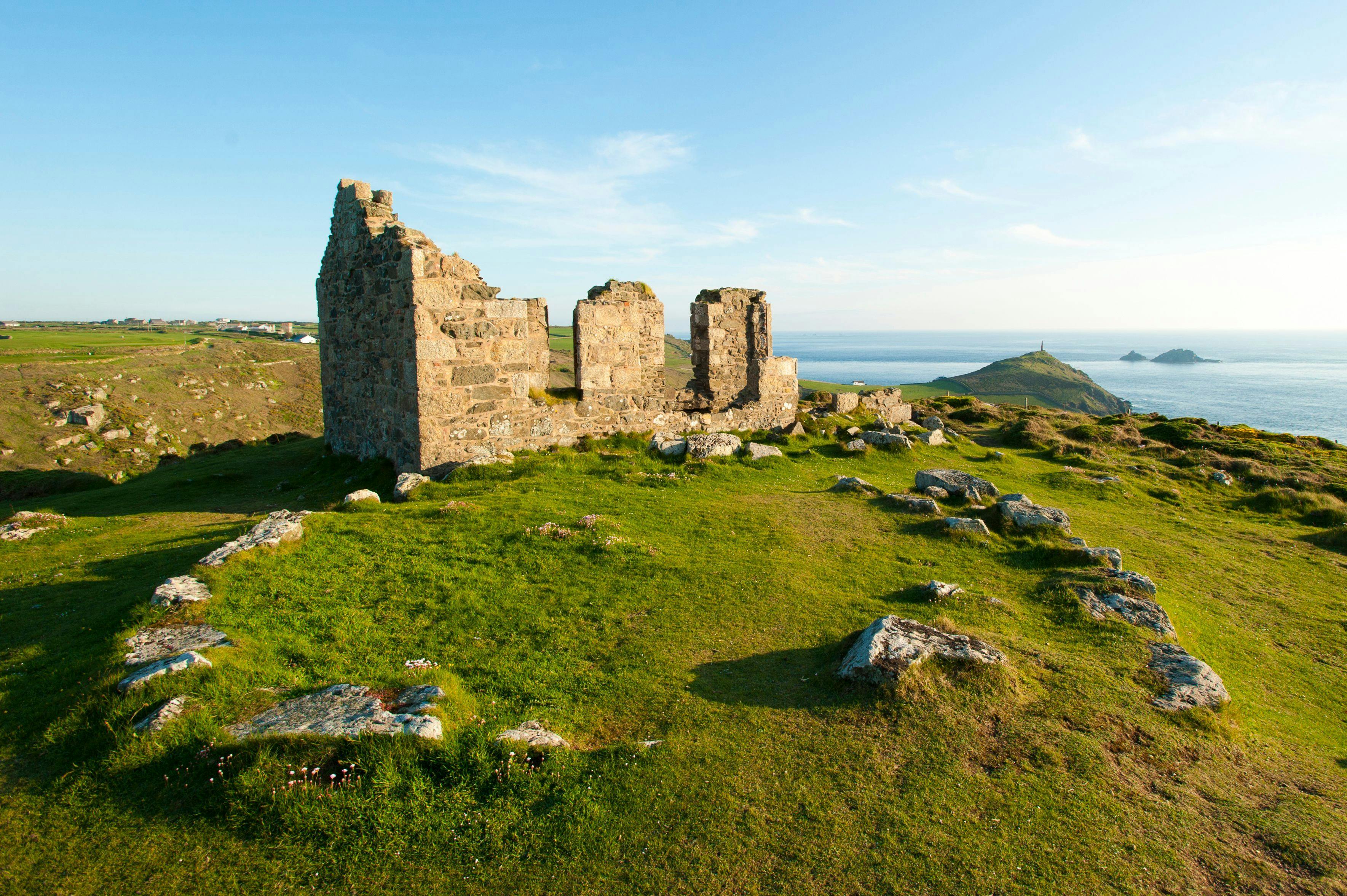
The Tinners Way
The wild rugged moorland and coastline of West Penwith is enjoyed on this walk from Cape Cornwall to the artists haven of St Ives. It’s only 16 miles in length, but those keen on walking could turn around at St Ives and return via Zennor and the South West Coast Path. Along the route you will pass Neolithic burial sites, stone circles and Iron age villages. The tinners, who gave the walk its name, have been mining this part of Cornwall for 1000’s of years, but the engine houses familiar to many through TV programs are better seen down on the coast than up on the high moors.
Your weekly dose of Cornish cheer!
When you can’t be in your favourite place all the time, catch up on the latest stories, upcoming events, holiday ideas, and offers with a newsletter straight to your inbox. Terms and Conditions / GDPR compliance: by providing personally identifiable information Visit Cornwall will use it to provide you with ongoing information about their products and services. No one from Visit Cornwall will rent, sell or lease this personally identifiable information to other companies or individuals.
Stay connected
Find us on socials and stay connected with the Cornwall you love.
We use cookies to personalise content and ads and to analyse our traffic. You consent to our cookies if you continue to use our website. (Privacy Policy)